

The village landscape and the viewpoint are not the same booking
TAT identifies Phu Thap Boek as a major highland destination of Phetchabun, associated with camping, morning light and agricultural scenery. The tourism directory locates Ban Thap Boek in Wang Ban. Those descriptions support a mountain-village visit. They do not mean all fields, terraces or viewing decks are public, or that a campsite and a hotel room share the same facilities.
Choose the view you want to spend time with, then check how the accommodation actually connects to the road. A room below the final climb can be a staging choice but is not a mountaintop stay. A property advertised under the wider Khao Kho label should not be treated as being in Ban Thap Boek without checking its individual location.
Keep the road decision separate from the scenery
The eastern approach to Phu Hin Rong Kla is described by Thai National Parks as a substantial uphill drive through the Phu Thap Boek side. This is useful topographic context rather than clearance for a particular vehicle or today's weather. Arrange a driver comfortable with the actual route if steep mountain driving is outside your experience. A short distance on a map does not establish a short journey.
A July 2024 PRD report concerns improvements on the Phu Thap Boek–Ban Na Sa-ung–Ban Mak Khaeng connection. It describes earlier rain-season difficulty and a development project. Do not read that old report as a current all-weather shortcut between the mountain and Dan Sai. Obtain local advice about the road you intend to use, especially if navigation proposes a minor cross-mountain connection.

Plan one night around what you can actually do
An editorial overnight plan is to arrive with daylight for the last road section, settle into the chosen accommodation, and leave the following morning flexible for the conditions. It is not a promise of sunrise visibility or a scheduled activity. If cloud obscures the view, avoid adding unplanned mountain-road detours simply to chase a photograph.
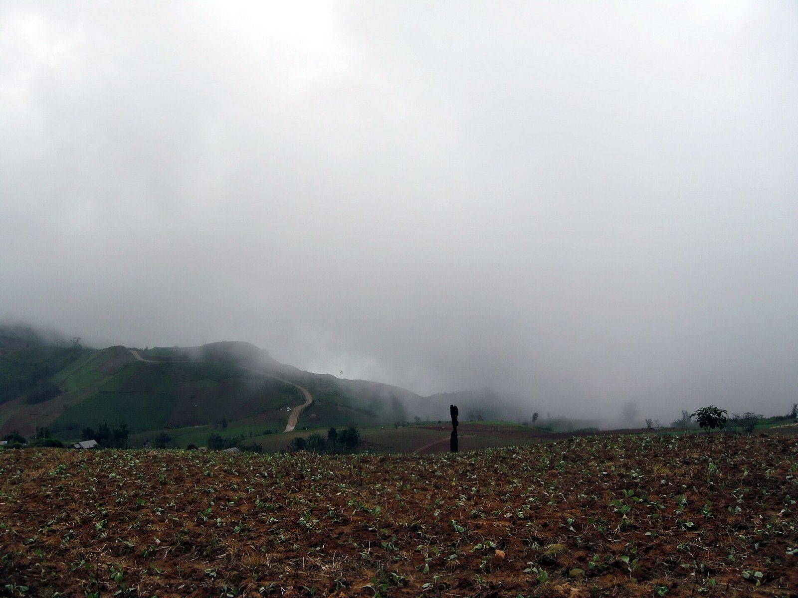
Agricultural land is part of the village's livelihood. Ask before entering a field or using a private viewing area, and keep vehicles clear of working access. The photographs show cabbage cultivation on past dates; fields may be harvested, replanted or used differently. They are not evidence of a current visitor activity or a right to walk through crops.
Combining the mountain with the national park
Phu Hin Rong Kla is a separate protected-area visit, with rock formations, walking routes and park facilities. It can complement the village scenery when transport, entry and the available day fit together. Our park guide focuses on the rock-field outing, while the Phu Lom Lo guide concerns seasonal cherry-viewing access. The three names should not be collapsed into one attraction or one ticket.
For a longer journey, distinguish a village night from a lower Lom Kao or Lom Sak staging night. The lower towns can be useful for reorganising a road trip, but they do not offer the same arrival experience as sleeping on the mountain. Hotel connections on this site are qualified by that difference rather than presented as guaranteed transfers to a viewpoint.
The overnight decision
Ban Thap Boek for a highland night; Lom Kao/Lom Sak only as qualified lower-road staging.
Lom Sak Nattirat Hotel — Western Lom Sak lowland staging only for Nam Nao via the wider Highway 12 corridor; no nearby trail, hotel transfer, exact entrance or current road-status guarantee. Also a broader Lom Sak lowland staging night for a separately arranged Phu Thap Boek approach via the wider Highway 12 / Road 2372 corridor, not near the mountain or a verified hotel-to-turning route.
Planning references
- TAT: Phetchabun
- Tourism directory: Ban Thap Boek
- PRD: road improvement project, July 2024
- Thai National Parks: Phu Hin Rong Kla
Seasonal information and older visit descriptions need to be read with the qualifications in this guide.